About the Great Plains
By Josh Lefers
The Great Plains encompasses a diversity of habitats including the Missouri River and Red River riparian forests, tallgrass prairies, wetlands in the Prairie Pothole region and of the Rainwater Basin, the Platte and Niobrara rivers, the Sandhills, Central Coteau, and the Pine Ridge areas collectively.
Developing over tens of thousands of years, tallgrass prairie found in the Great Plains region historically evolved with animals grazing and natural fires. Today, we utilize grazing management and prescribed fire as a way to support the landscape, enrich the soil, and minimize invasive species that cannot withstand the heat of fire. The dominate vegetation in the Great Plains region includes a composition of grasses, herbs, and shrubs that support wildlife forage, breeding, and nesting habitats. At one time, grasslands in various forms covered 40% of the world’s land area.

In the Great Plains, our prairies are divided into three sub-divisions. Tallgrass prairie, which covers a small area of the eastern Dakotas and Nebraska and stretches east to Illinois and Ohio. Mixed grass prairie covers the central part of the states and stretches north to south from Southern Manitoba and Saskatchewan into Texas. Shortgrass prairie starts in far western parts of our states and can stretch to the Rocky Mountains. Tallgrass and mixed grass prairies also exist in an area with adequate precipitation to support modern agriculture. Thus, significant proportions of these biomes have been cleared for use in growing food and fuel. Estimates from National Audubon Society’s North American Grasslands and Birds Report conclude that only 11% of tallgrass prairies, 21% of mixed grass prairies, and half of shortgrass prairies remain.
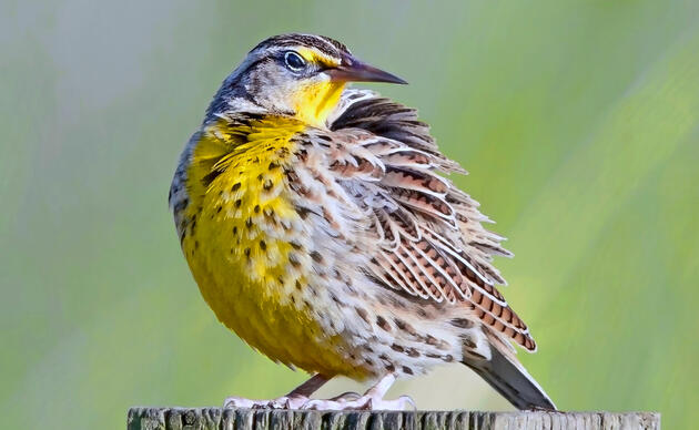
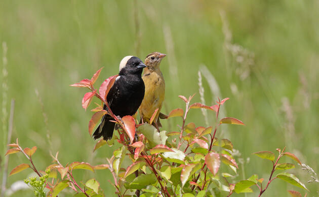
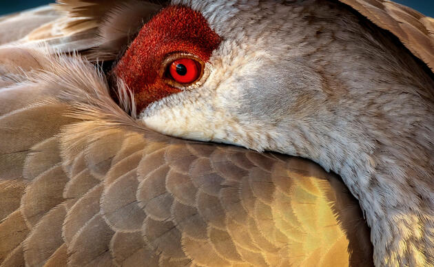
There are over 400 species of birds that call the Great Plains home and an estimated 700 million lost across 31 species since 1970.
Support Spring Creek Prairie
We are able to provide and protect this amazing landscape only with the help of private donations. Help us keep the trails open and the prairie thriving!
How you can help, right now
Support Rowe Sanctuary
Help us continue our important work for Sandhill Cranes and other birds that rely on the Platte River ecosystem!
Support Spring Creek Prairie
We are able to provide and protect this amazing landscape only with the help of private donations. Help us keep the trails open and the prairie thriving!
Support Audubon in the Great Plains
Support our work with local landowners, urban woods and prairies, and education programs in Nebraska and the Dakotas!