The Frederick L. Wicks Prairie Wildlife Sanctuary consists of 400 acres (most of Section 33, T156N, R89W) of hummocky virgin short-grass prairie – including over twenty wetland basins (glacial potholes, the largest covering 25 acres, another covering 3 acres) – on the Missouri Plateau (the high-plains end of the Great Plains), midway between the Missouri River (to the southwest) and the Souris River (to the northeast), the latter flowing north into Lake Winnipeg, part of the Hudson Bay watershed. The Sanctuary is on the edge of an area of intense oil exploration, underlain by the Bakken Formation.
The property was donated to the National Audubon Society as a memorial to Frederick L. Wicks (1885-1956) – longtime eye, ear, nose, and throat doctor in Valley City, North Dakota – who had purchased it in several parcels beginning in 1908. The property had been leased out for many years and was grazed moderately through 1996 (a transitional period was allowed so that the lessee could make alternative grazing arrangements). The land had (pre-)historically also been grazed by wandering herds of buffalo (bison). Periodic grazing – or burning – helps to rejuvenate the prairie.
The Sanctuary – which lies along the central flyway bird migration route, about 45 miles west of Minot and 4 miles southwest of Blaisdell off of U.S. Highway 2 – is managed in tandem with the adjacent 1500-acre U.S. Fish & Wildlife Service Bloom Waterfowl Protection Area to the east.
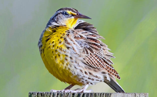
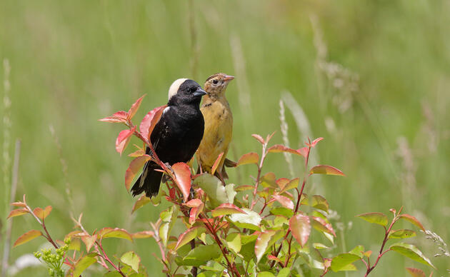
The prairie surrounding the Sanctuary’s wetlands provides nesting cover for waterfowl, including pintail, teal, shoveler, widgeon, mallard, gadwall, etc. Hawks and sharp-tailed grouse have been observed in the Sanctuary, and it is probable habitat for the Baird sparrow and other endangered species, as well as for pheasants and deer. (We would welcome reports of species observed.)
In 1993, as part of its North American Waterfowl Management Plan, the U.S. Fish & Wildlife Service’s Lostwood Wetlands Management District installed three “predator-free” cement nesting structures for mallards and Canada geese in the two largest wetland basins. Already in 1992 the USFWS had put out bales of flax straw for protected nesting.
Directions
The Sanctuary is open to the public to explore (with great respect for the land and its flora and fauna). There are no facilities of any kind, other than a memorial plaque on a granite monument stone near the “entrance” on the west side. On a highpoint near the road, about a half-mile south of the entrance, is a rock cairn memorializing Alan E. Wicks – Frederick L. Wicks’ younger son – who was instrumental in initiating the donation of the property to Audubon before he died in 1991. The property was donated by his wife and children and by the wife and children of Alan’s older brother, Edwin O. Wicks.
Detailed directions to the Sanctuary (also see next paragraph): About 3 miles west of Blaisdell on U.S. Highway 2, about half a mile west of milepost 102 on the south side, turn south on a gravel road. The road starts out on the half-section line for ¾ of a mile, then bends east and again south onto the section line. Proceed on this road less than 3 miles in total (about 1 mile after again turning south), past a natural-gas pipeline marker (labeled 381) on the left. At the northwest corner of Section 33 there is a smaller road going west but not east. Just after that, on the left, is the “main entrance” to the Sanctuary, a “parking area” with an opening in the fence, and the dedicatory monument nearby.
Alternatively one can drive south from Blaisdell, 2 miles past U.S. Highway 2, then west for 2 miles to the northeast corner of the Sanctuary. From there one can drive 1 mile south (passing half a mile of cropland in the middle on the right) to the southeast corner of the Sanctuary at 60th Street NW. From there one can drive 1 mile west on 60th Street, then 1 mile north to the entrance.
How you can help, right now
Support Rowe Sanctuary
Help us continue our important work for Sandhill Cranes and other birds that rely on the Platte River ecosystem!
Support Spring Creek Prairie
We are able to provide and protect this amazing landscape only with the help of private donations. Help us keep the trails open and the prairie thriving!
Support Audubon in the Great Plains
Support our work with local landowners, urban woods and prairies, and education programs in Nebraska and the Dakotas!