Climate change presents a lot of uncertainty about the future for both human and wildlife communities on the Great Plains. Stretching across the region, the Platte River illustrates this uncertainty with projected climate change impacts in the Rocky Mountain headwaters expected to look much different than the at the Platte’s eastern confluence with the Missouri River. With so many unknowns about how climate change will influence the Platte’s hydrology, wildlife, and communities, how do we know where to focus our conservation capacity and resources?
With a geography spanning around 90,000 square miles, this is an important question for Audubon’s Platte River Initiative, and in 2024, we found an opportunity to put the best science to this question by partnering with NASA’s DEVELOP program. DEVELOP partners with many communities and organizations to bridge the gap between the satellite Earth observations that NASA produces and on-the-ground decision making about environmental challenges.
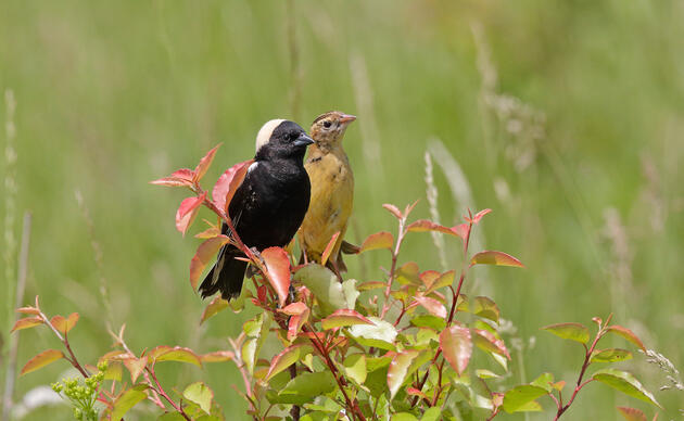
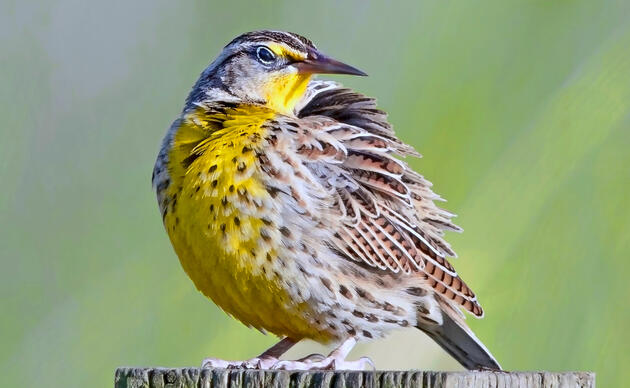
Although we can’t predict exact impacts, we know that wildlife and human communities along the Platte are likely to experience longer, more intense drought periods, punctuated by extreme precipitation events. Nature-based solutions such as improving and expanding green spaces, planting native vegetative buffers around streamways, and restoring wetlands, are all strategies that can increase resilience to climate extremes while enhancing community well-being.
The DEVELOP team was able to help Audubon narrow-in on one piece of the puzzle by using remote-sensing to show us where urban wetlands exist, where they may be restored, and where they are under threat. By mapping out current and potential wetland areas, and overlaying a prediction of the extent of urban development over the next 25 years, the DEVELOP team created a set of maps that show us where wetland restoration efforts should be prioritized.
At a Basin level, the results told us that we can expect to see a loss of about 16 square miles of urban wetlands to development if no protections are put into place. By zooming-in to the community scale, the results were able to show when and where the pattern of future urban development could disturb critical bird habitat, decrease habitat connectivity, or diminish the ability of wetlands and floodplains to buffer flooding impacts.
Right now Audubon is using the data that the DEVELOP team created to build a conservation blueprint for the Platte River Basin to help us and our partners focus on wetland protection and restoration where the need is most critical for birds and people. Audubon is grateful for the valuable work that NASA’s DEVELOP team did to find the critical spaces where conservation efforts can benefit our wetlands, birds, and communities.
NASA’s DEVELOP program provided valuable spatial analyses to help our team prioritize wetland protection and restoration throughout the Platte River Basin.